
|
|
|
Mapyrus is open source software and is implemented entirely in Java enabling it to run on a wide range of operating systems.
The software combines the following four features.
A Logo or turtle graphics program.
An imaginary pen is moved around a page, creating shapes that are drawn into an image file. Reusable routines are built up using a BASIC-like language. Branching and looping constructs enable complex shapes, symbols, patterns and graphs to be be defined.

|

|

|

|

|

|

|
| SVG PDF | SVG PDF | SVG PDF | SVG PDF | SVG PDF | SVG PDF | SVG PDF |
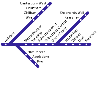
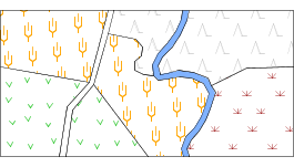
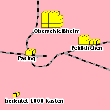
Reading and displaying of geographic information system (GIS) datasets, text files, or tables held in a relational database (including spatially extended databases such as Oracle Spatial, PostGIS and MySQL).
Drawing routines are applied to geographic data to produce annotated and symbolized maps and graphs. Attributes of the geographic data control the color, size, annotation and other characteristics of the appearance of the geographic data. Scalebars, legends, coordinate grids and north arrows are also available.

|
|

|
| SVG PDF | SVG PDF | SVG PDF |

|
|
| SVG PDF | SVG PDF |
Updated 21 August 2016